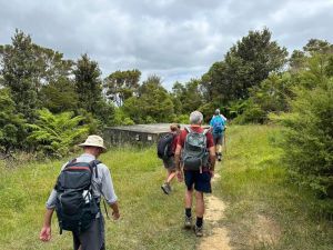
The tramp started at the lay-by at Govan Wilson Road on the Matakana Valley Road as there is no parking
at the trail head. This meant a short road walk before entering the north bound journey. The track starts
with a climb and continues climbing to the Radar station and then to the high peak at Mt Tamahunga. Elevation
445 a gain of about 160m over a 3km distance. The track is OK at this time of year but would be muddy
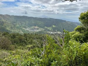
in winter. We stopped about an hour for morning tea break then continued on to the Heli pad and views
back towards Omaha Beach and surrounding areas. To our surprise an old member Mandy walked in on our
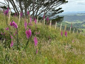
short break and joined us to the track end. We stopped for lunch at 477.5 on the map with magnificent
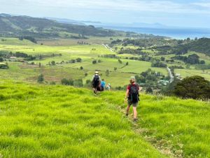
views down over Pakiri and out to sea. From that point the track is all downhill to our pick point at
the school.
|