6 people from ABTC and 9 from Pathways meet at 9.00am at the Corcoran road car park to our goal the 959
metre high summit of Mt. Pirongia
After brief introductions and a word of covering prayer we set
out on our ascent. The first 30 minutes the track is of a high standard with plenty of steps. Our first
rest stop was at junction with the Gray road track. The next 20 minutes the track went over some step
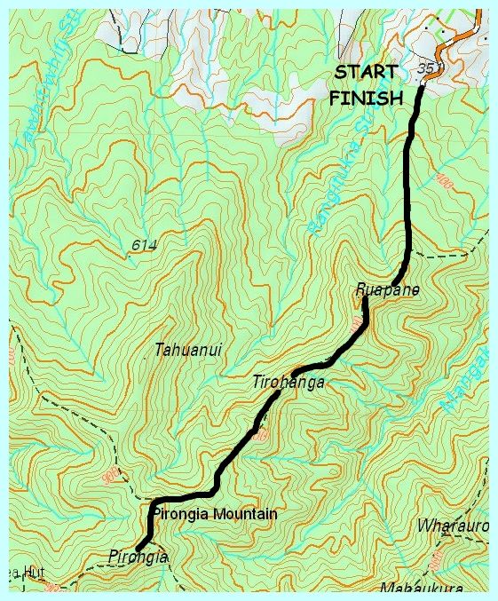
rocky outcrops to reach the Ruapane trig (723m) where you get rewarded with a view over the Waikato and
also of what is to come further up the mountain. Topics of discussion were about how Pirongia and was
formed and its volcanic nature.
|
|
|
|
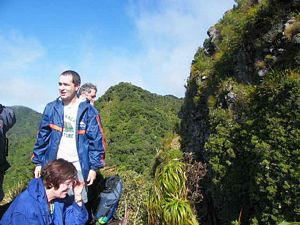 |
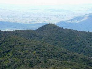
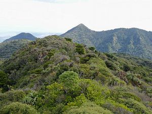
We left Ruapane after 15 minutes rest the next goal being Tirohanga another rocky outcrop similar
the Ruapane. To get there we had to negotiate two sections where chains have been provided to provided
on step sections. One chain was for assailing down a steep bank. Instruction of were to place your feet
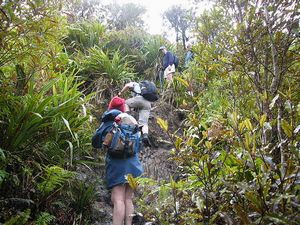
had to be given to some people. After another rest at and chocolate at Tirohanga we continued on down
a steep drop down below a huge rock cliff face.
After this we climbed again and experienced
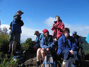
a shower of rain. We saw the first view of the summit tower about one hour before reaching it. The summit
was reached about 1.00pm. We had lunch identified various landmarks & took photos etc.
|
|
|