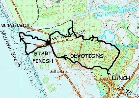
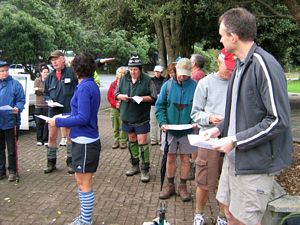
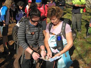
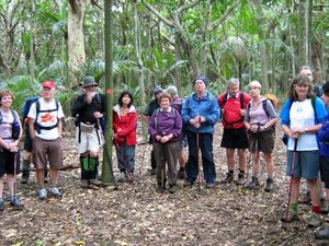
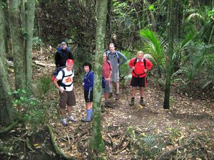
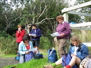
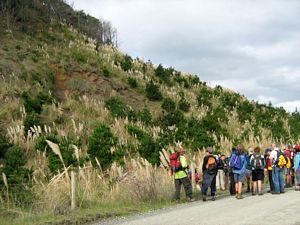
This was a Saturday tramp with a difference. Leader Laurie decided to include a few navigational exercises
on the walk, handing out copies of part of the topo map of the area at a briefing at the start. Throughout
the trip we would be finding a total of ten grid references. Along with the maps we were given small
green laminated romer cards, a type of ruler used to determine the exact position of a grid reference
on a map.
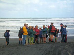
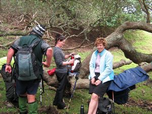
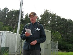
We met outside the Sand Dunz Cafe at Muriwai Beach, and after the briefing, introductions
and karakia we drove 2km down Coast Rd to a carpark. Here we had our first exercise - to find a given
grid reference on our maps, which turned out to be the junction with Grass Track Rd in the immediate
vicinity.
|
|
|
|
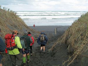
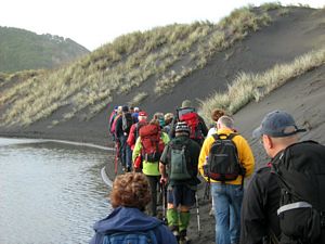
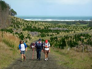
Leaving the cars there we followed a track to Muriwai Beach with its black iron sand. Our next navigational
exercise was to use the maps to find a given grid reference, which turned out to be on a nearby 4whd
access road to the beach.
|
|
|
|
|
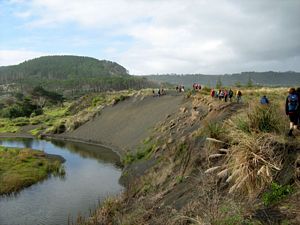
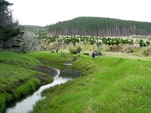
We turned inland following the Okiritoto Stream, going along the foot of a sand dune before climbing
up it. After walking a short way along the top we dropped back down to the stream’s edge.
|
|
|
|
|
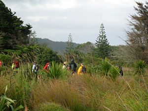
We then cut our way across boggy grassland to come back out to our starting point.
|
|
|
|
|
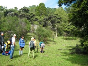
For our second and longer walk we rejoined the Okiritoto Stream and continued upstream through pasture
and into pine forest. We eventually came to a bridge, the third grid reference we had to find.
|
|
|
|
|
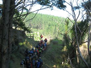
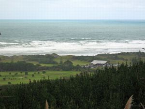
We retraced out footsteps for a very short way before climbing up a vehicle track to come out on
Grass Track Rd. Looking back we could see the coast in the distance.
|
|
|
|
|
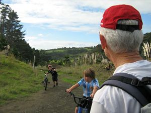
Our fourth point was at a track/road junction at the top of a hill. A mother getting her two children
away from their playstations and onto their bikes came past.
|
|
|
|
|
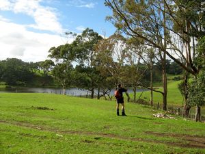
The fifth exercise was easy enough - we had to spot a tiny lake in the gully nearby.
|
|
 |
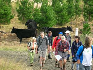
We continued down to the Muriwai Downs Farm to the sound of guns sending ducks to the pearly gates
- it was the start of the duck shooting season. The leaders had been given permission for us to cross
the property, climbing up to our morning tea spot overlooking Lake Okaihau. A sudden and brief change
in the type of sunshine caused us to swap sunglasses for raincoats.
|
|
|
|
|
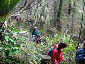
Afterwards we dropped down into the bush, crossing a bog before climbing up to come to a clearing.
|
|
|
|
|
Finding the entrance of the track to Houghtons Bush Presbyterian Camp was another exercise for us.
We soon found the well-formed track and came to the site of an old Maori pa. Laurie explained the layout
of the pre-European pa with its trenches and fortifications against enemy tribes before we were allowed
to explore the place.
|
|
|
|
|
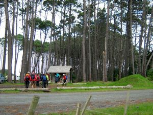
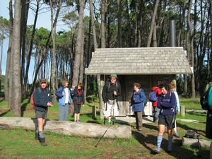
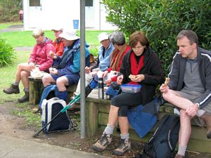
We came out at the Houghtons Bush camp about 12:30pm for a half hour lunch break. Background music
was provided by a contractor up the trees lining the camp accessway trimming them to size with his chainsaw.
|
|
|
|
|
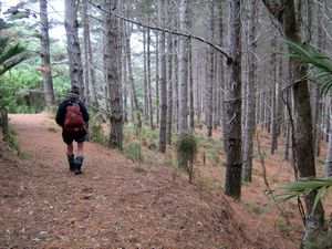
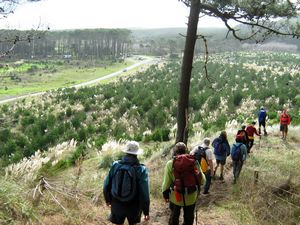
Afterwards we went back along the bush track and took a turning that soon came to pine trees. As
we dropped down through them we had views out to the coast once more.
|
|
|
|
|
Our final grid reference to find was a radio mast near the top of a hill. This made a lovely spot
to think about the promises of God’s protection given in Psalm 91, which Laurie read to us. He likened
the fortifications of the Maori pa against attacks from enemy tribes to the promise of God’s protection
to us against the attacks of the devil. He concluded our devotions by challenging us to think of this
Psalm when next we visit a Maori pa site.
|
|
|
|
|
From there it was a quick descent through pine forest to Coast Rd, and we were back at the carpark
at 2pm.
|
|
|
|
|
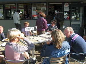
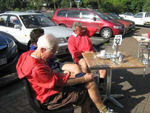
We had a leisurely coffee at the Sand Dunz Cafe to finish our day off.
|
|
|