|
Base map extracted from NZ TopoOnline April 2007. Crown Copyright Reserved
|
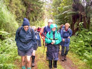
This was the third time the Club has done the Ernies Track circuit in the Hunua Ranges since the originally
strictly taboo water catchment area had been opened up to public access twelve years ago. 13 people came
along this time, including a person aged 80 years and just as fit as all the others on the tramp.
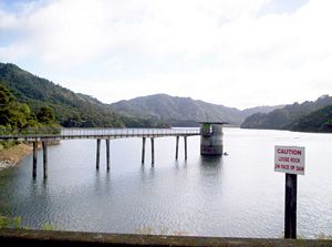
We left The Bracken at 8am and met up with more people at the Mangatawhiri Dam carpark at 9am. It was
soon after 9:30am as we wet out, walking up to and across the Mangatawhiri Dam to the start of Lilburne
Rd Track.
|
|
|
|
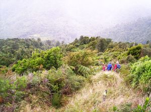
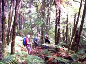
A steady climb up Lilburne Rd Track, a private gravel road open to pedestrians, brought us to our
elevenses break at the junction with Pukapuka Track. there were occasional views through the bush to
the eastern arm of the Mangatawhiri Reservoir.
|
|
|
|
|
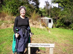
The road followed an undulating course to finish at Piggotts Campsite, which had a small 4-bed hut.
|
|
|
|
|
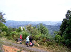
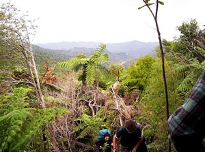
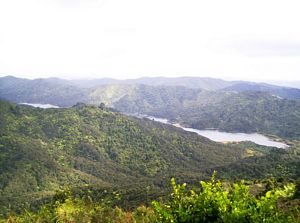
We entered the bush for a steady climb to a viewpoint where we could look down to the Mangatawhiri
Reservoir below. That could have made an excellent lunch spot but for the strong cold southwesterly wind.
|
|
|
|
|
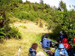
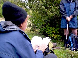
We could see a clearing below us ahead so settled for that for our lunch break, sheltering behind
some shrubs from the wind. Joy read a poem by Joy Cowley that describes how Jesus went up a mountain
alone to pray then come down to the plains below to meet the people, and questions us where is our mountain
and where are our plains.
|
|
|
|
|
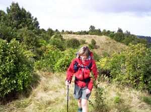
Back or our feet again we soon passed the junction with Upper Mangatawhiri Track and climbed up to
another summit.
|
|
|
|
|
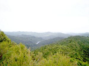
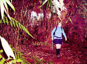
From there it was a steady downhill through scrub and bush with views of the head of the reservoir.
|
|
|
|
|
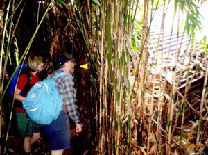
At the bottom we came to a dense patch of bamboo and the remains of an old hut.
|
|
|
|
|
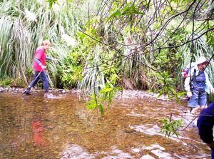
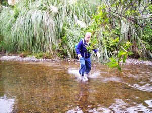
The track continued through a level area to cross the Mangatawhiri River, time to wash our feet.
|
|
|
|
|
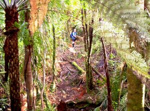
We carried on along an undulating bush track, crossing a swamp in one place, to eventually come out
to the Waterline Road. Near the finish there were a couple of boardwalks - the track was in the process
of being done up. The original course of the track was to climb steeply up to a high point on the road,
but it appeared that the final section had been re-routed to stay at a low level and meet the road on
the foreshore of the reservoir.
|
|
|
|
|
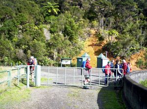
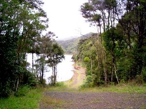
It was a half-hour roadbash along this road, again closed to traffic but open to trampers, to finish
at the dam and the carpark. We were out soon after 4pm tired but glad to get out into the Hunuas heartland
for the day.
COST: $12
|
|
|