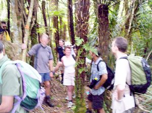
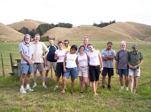
A total of 13 people turned out on a fine calm day to explore the eastern side of the Hunua Ranges, doing
the tramp between Waharau Regional Park and Tapapakanga via Adams Lookout. To save time in locating cars
at either end we split up into two groups starting and finishing at each end and crossing over at Adams
Lookout.
We left The Bracken at 8am and drove to the Woolshed in Clevedon where we met up with
people coming from the eastern suburbs. From there we drove to the Tapapakanga end of the tramp, then
those who were going to Waharau carried on to the regional park.
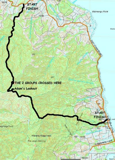
From the carpark at Waharau Regional
Park those doing the northbound direction followed the Waharau Ridge Loop Track as it climbed through
farmland into bush. It was a steady climb to the junction with the Upper Link Track, then a bit more
level followed by a big grunt up to the junction with the Kohukohunui Track and a well-deserved break.
|
|
|
|
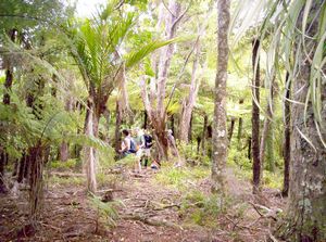
Like the Waharau Ridge Loop Track, the Kohukohunui Track was well formed. It followed a more undulating
route through bush at first, soon coming to a junction with a private track.
|
|
 |
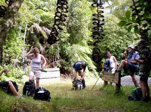
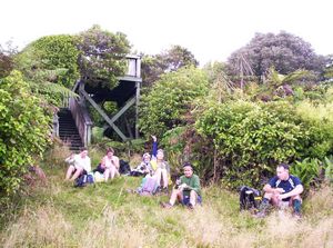
The track came more open as we continued on towards Adams Lookout; in places we were able to look
out to the Firth of Thames and into the inner Hunua Ranges. We arrived at Adams Lookout about 1pm and
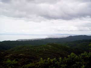
stopped for lunch. From the viewing platform we could see the Firth of Thames with the Coromandel Ranges
behind, and Mt Te Aroha in the distance; in the opposite direction we could look out towards Kohukohunui,
the highest point in the Hunua Ranges.
|
|
|
|
|
|
|
|
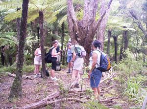
We had expected the other group to join up for lunch, but they had not come by 1:30pm when we decided
to carry on with our tramp. About two minutes further along the Kohukohunui Track we turned right at
a signposted junction and on to the Tapapakanga Track. This three-hour route to the East Coast Road is
not marked on the ARC Parks map nor the topo maps - it is much rougher than the Waharau route, marked
by orange markers.
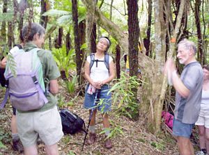
About ten minutes into the track, we came across the other group, and stopped
albeit briefly, but long enough for Peter to play How Great Thou Art on his mouth organ.
|
|
|
|
|
It was a long steady descent through bush, steep in places. The other group, who had been climbing
this route, described it as a series of climbs and summits, counting about nine of these altogether.
|
|
|
|
|
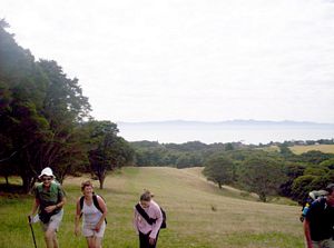
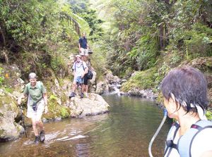
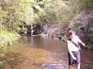
Eventually we came to a grove of kauri trees, then the final drop to the stream. From this point
on we would be on a public route through private property. The track followed the stream, sometimes on
the left side, sometimes on the right, sometimes in the stream itself. In one place near the end of the
stream section the track climbed up through the bush to avoid an otherwise impassable section.
|
|
|
|
|
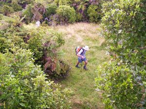
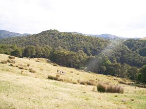
Later the track left the stream for a climb through bush and on to open pasture - and a view
of the surrounding countryside and the East Coast Road not that far away.
|
|
|
|
|
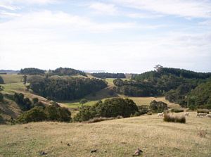
But this view was deceptive - we dropped down towards it, but we soon found ourselves faced
another big grunt. Once at the top we could see the road again - and this time it was a straightforward
drop to the two waiting cars.
|
|
 |
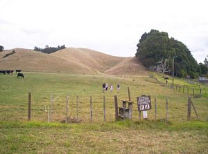
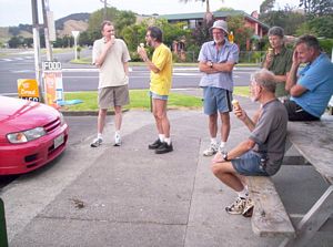
It was 4:30pm as we came out to the finish of the track - just as the other group reached their
cars at Waharau Regional Park. We all come together once more so that everyone was in the right car for
the trip back to Auckland.
|
|
|
|
|
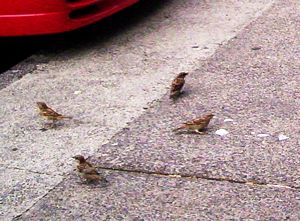
At Kawakawa Bay we stopped for ice creams - and the sparrows loved the icecream just as much as we
did!
|
|
|