In places the sea had a distinct red tinge, apparently caused by some form of algae. Maybe it reminded
us of the Red Sea and how the Moses and the Israelites got through when the waters parted, and the pursuing
Egyptians were drowned?
|
|
 |
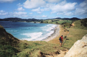
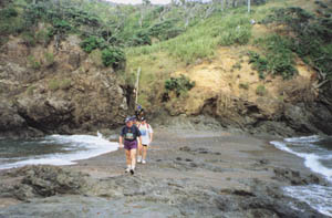
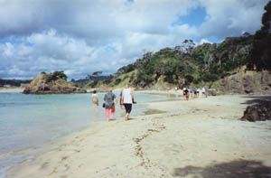
The next headland looked formidable but turned out to be straightforward. We left the coast at the
far end of Pareparea Bay to cross a small area of Maori land (with the permission of the owners) and
come to the end of Rockwell Rd, the coastal road running north of the Whananaki village.
|
|
 |
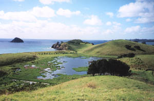
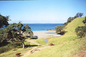
From here we were faced with a roadbash all the way to Whananaki Village. We had lovely views of
coast, houses, farms and, in one or two places, beautiful summer flowers lining the road.
|
|
 |
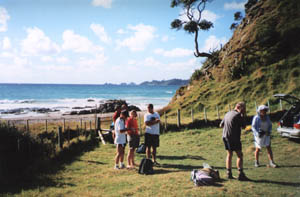
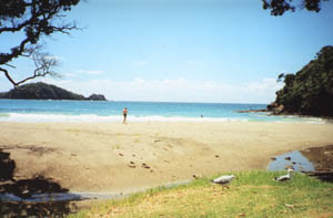
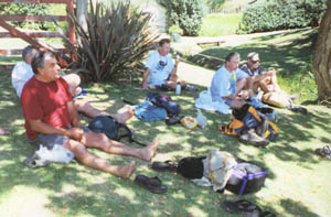
We stopped for lunch at Moureeses Bay, and some of us enjoyed a refreshing swim to cool off in the
heat of the day.
|
|
|
|
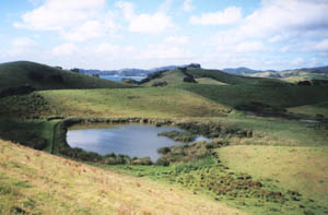
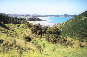
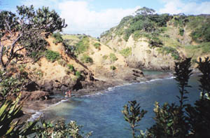
Then on to Tauwhara Bay, with the DOC campground. From the top of the hill beyond that we had a great
view of the Whananaki estuary and the coast beyond.
|
|
 |
It seemed a long road bash from there to the Whananaki Store, where we arrived about 3pm for a welcome
ice-cream and drink stop. Next door there was a wedding reception going on in a large tent.
|
|
 |
Access to the Whananaki Coastal Walkway from Whananaki was across a long narrow wooden footbridge
over the estuary.
|
|
 |
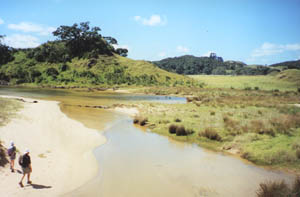
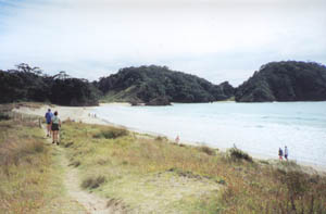
Once across the bridge we followed either a track or the mudflats then got on to a road that went
across flat farm land to Sheltered Bay, this road being the start of the Whananaki Coastal Walkway.
|
|
 |
This 5km walkway follows a “paper road” (unformed legal road) from Whananaki South to Sandy Bay,
going through farm land. There are signs everywhere warning of no public access to any of the beaches
on the way, other than the north end of Sheltered Bay - in one place one of our group had inadvertently
tried to take a shortcut down a steep hill to rejoin the orange-markered track at the bottom, only to
be severely scolded by a couple of farmers halfway down and made to go all the way back up again!
|
|
 |
Four of us took the walkway itself while the rest walked along Sheltered Bay and climbed up the steep
track to the Capitaine Bouganville monument. From there the track joining back onto the main track was
a bit overgrown because the former pasture was now planted in pine trees and no longer had sheep or cattle
to keep the grass down.
The track continued on as a farm road over several hills, with views
of “taboo” beaches on the way.
|
|
|
|
We came out soon after 5:30pm, and there was Roger’s van waiting for us. Because the van had all
the packs and food in it, it had to make two trips to take everyone to the motor camp at Ngunguru, our
stop for the night. Soon after the van left with the first load of people, we discovered a puncture in
the rear left wheel, so had to stop and use the spare tyre. This meant that the rest of the people had
a wait of a whole hour for the van to come back!
|
|
 |
The motor camp was on the shores of the Ngunguru estuary. We pitched two of the Club’s large
green fly tents, then cooked our dinner in the camp kitchen and ate it on the picnic table outside as
darkness began to fall. Afterwards Roger reflected about God’s sovereignty and holiness as given in the
early chapters of the Book of Isaiah. God is our King and as such governs in a fair and perfect way,
and His holiness is absolute perfection which none of us can attain - it is only through the sacrifice
of Jesus Christ that we are justified and made holy.
|
|
 |
Sunday
Martin and Jenny arrived about 8am bringing Stuart’s car and their own car. After
breaking camp we set out for the Tutukaka Lighthouse walk at the end of a narrow gravel road north of
Ngunguru.
The Tutukaka lighthouse is a 45min walk from the road end, starting as a mown
track through grass then dropping down to follow the rocky coast to a small bush-clad island, with the
lighthouse at the summit.
|
|
|
|
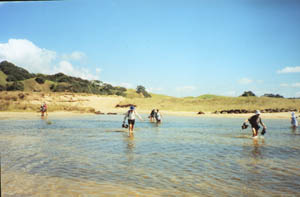
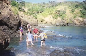
The tide was almost right in, which made for having to help one another across in one place, a good
example of the importance of teamwork in tramping.
|
|
 |
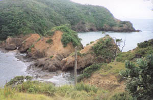
From the lighthouse we had a spectacular panoramic view of the coastline, looking north to Cape Brett
(where it was raining) and south to the rocky outcrops of Whangarei Heads.
|
|
 |
On our way back, the tide had come in even further.
|
|
|
|
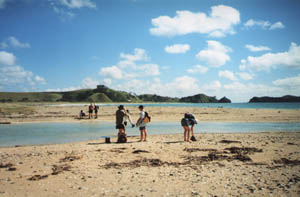
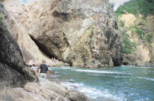
Back in our vehicles once more, we headed north to Matapouri Bay and the walk to the tunnel in the
headland at the north end of the beach. Normally this would have been an easy walk along the sand, but
we found ourselves wading up to our tummies!
|
|
|
|
|
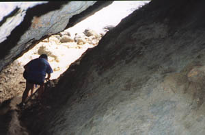
We made our way through a narrow slit-like cave to the rocky coast on the other side of the headland.
The high tide prevented us from carrying on around the coast to a deep swimming hole in the rocks. However
we enjoyed another spectacular aspect of God’s creation.
|
|
|
|
On the way back, some of us, who had already got our pants wet wading through the water, decided
to have a lovely swim to cool off.
It was midday when we returned to the vehicles, so we
called off a planned walk to Whale Bay a little further north. We once more enjoyed the hospitality of
Martin and Jenny as we had lunch back in Whangarei, and Roger took his van to a nearby garage to have
the punctured tyre mended.
|
|
 |
Helena shared some thoughts about the life-changing prayer of Jabez in 1 Chronicles 4:10. Jabez
appears only in this passage (vv. 9-11) with this prayer being the only mention of him in the whole Bible.
Jabez prayed that God would bless him, and help him in his work. He also asked that God be with him in
everything he did, and to protect him from all evil and disaster.
Once the van was back from the
garage we all loaded the vehicles and headed home to Auckland. Only the van was allowed an “ice-cream
stop” at the Shell petrol station at Warkworth; all the people had to wait until well and truly home.
We were back at Roger’s home about 5:30pm having had to crawl in heavy traffic between Windy Ridge and
Orewa and drop Jeff off at Silverdale.
COST: $50
|
|
|