|
Base map: NZTopoOnline, extracted October 2005, Crown Copyright Reserved
|
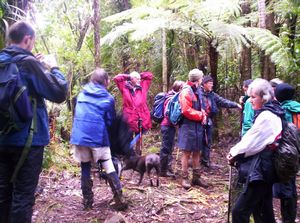
A group of 13 people braved a cold blustery showery day typical of Auckland at this time of the year
to explore an area that up till just ten years ago was strictly taboo to public access. One car load
of four left The Bracken at 8am and met up with the others at the Nihotupu car park on the Piha Road.
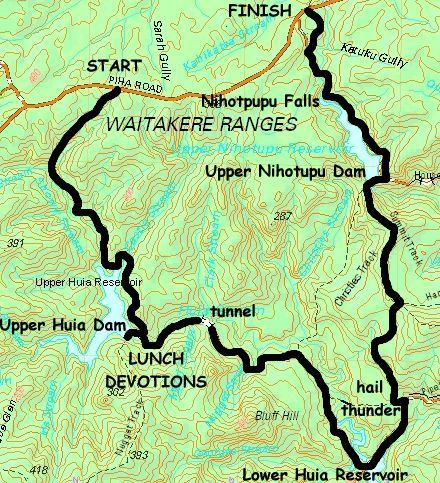
We set out along the Upper Huia Dam Track, dropping gradually through bush. It was a rough and muddy
track; we had to scramble over fallen trees in places. Punga took up the front - unlike the rest of us,
he did not wear boots or a day pack, and in one place he spotted a wild pig and frightened it off with
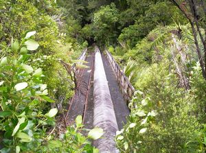
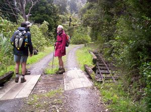
his loud bark. Later we came to what was once a short tramline to bring quarried rock to the Huia Dam
as it was being built; cuttings were clear evidence of this.
|
|
|
|
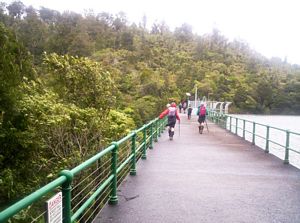
The track eventually left the railway formation and climbed up to drop down and follow the shoreline
of the Huia Reservoir to come to the Upper Huia Dam.
|
|
|
|
|
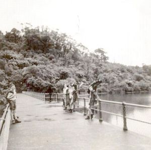
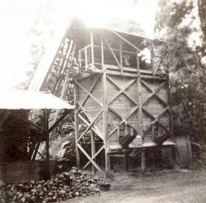
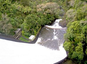
The Upper Huia Dam has hardly changed over the past 40 years as these photos taken on a scout trip
in 1963 show.
|
|
|
|
|
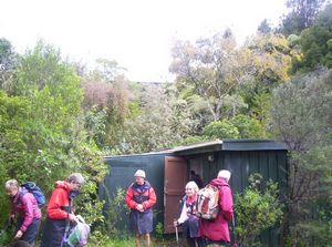
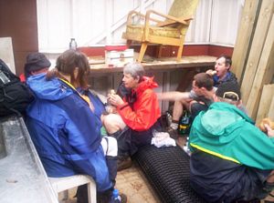
Below the dam we found a small hut that made an excellent place out of the cold for an early lunch.
Some workers who were there allowed us to use this place. Lynley shared from Ezekiel 47:1-12 in which
Ezekiel describes a river of healing flowing from the Temple bringing life to the Dead Sea and its surroundings.
God is our source of living water, flowing from His throne. The theme of our tramp was the water supply
reservoirs of the Waitakere Ranges - water represents the basic need for life, we use it for power generation,
refreshing ourselves, recreation and cleansing. God tells us to come directly to Him as the Source of
all these things, not to get our experience second-hand from books about Him or from godly people.
|
|
|
|
|
Afterwards we followed the Huia Dam Road downstream, passing a short tramline built to service the
pipeline below the dam.
|
|
|
|
|
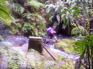
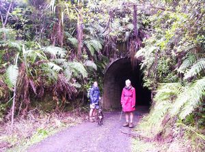
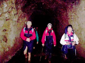
The road, following the original tramline that went to the dam from Huia, went through a tunnel.
|
|
|
|
|
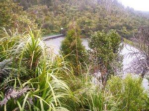
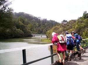
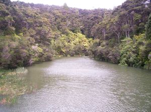
We came to the start of the Lower Huia Reservoir, and had a quick stop to admire the beauty
of the lake.
|
|
|
|
|
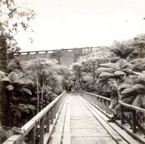
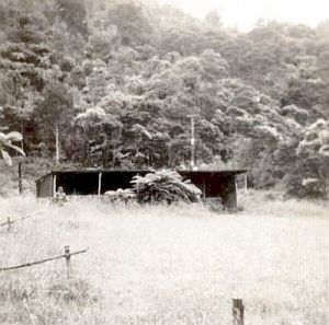
When the scout group walked to the Upper Huia Dam in 1963 the Lower Huia Reservoir had not been made.
The scouts stayed the night in a Boys Brigade hut which is now under the water, and on the way to the
dam they passed a crusher that would break up rocks quarried nearby for road metal.
|
|
|
|
|
As we left the Huia Dam Road and followed a side road to the start of Hamilton Track the brilliant
sunshine gave way to rain and coarse hail. Jet planes flying into and out of the Auckland International
Airport were not the only things that thundered overhead. Hamilton Track was as rough as the Upper Huia
Dam Track as it climbed steadily; in one place we had to climb over a big tree that had fallen over the
track. Even Punga took a while to find his way over the log. About halfway up the sun came out once more
and we could look down to Huia and the Manukau Harbour.
|
|
 |
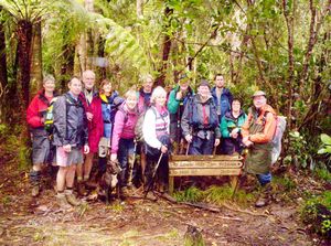
At the top, where the Summit Track branches off, we had a rest stop.
|
|
|
|
|
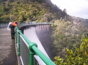
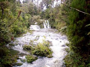
We followed the Summit Track along a sharp undulating ridge to the Upper Nihotupu Reservoir with
gale-force winds in places. In contrast to the water shortage of eleven years ago when reservoirs were
almost empty and Aucklanders faced the possibility of having to collect their household water in buckets
from standpipes, the reservoir was cascading over the dam’s spillway.
|
|
|
|
|
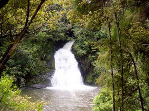
We did not linger long in the cold at the dam but carried on the Nihotupu Dam Road along the
shores to the spectacular Nihotupu Falls at the head of the reservoir. The road then climbed up to cross
the Nihotupu Stream, making a lovely stop.
|
|
|
|
|
We were on our way once more, and left the road to take a short well-formed bush walk to the
Nihotupu car park, finishing at 3:30pm. Rain continued on and off as we waited for the drivers to fetch
their cars from the start of our tramp; Punga gobbled up bits of bread some of us were throwing out for
the birds.
To finish a lovely day whose weather ranged from sunshine to thunder, we stopped at
the Waiatarua cafe on Scenic Drive near the Piha Road.
|
|
 |
|
|
|