|
Base map: NZTopoOnline, extracted April 2003, Crown Copyright Reserved
|
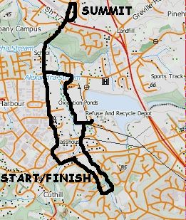
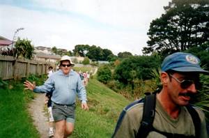
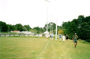
A fine early autumn afternoon brought out 31 people to explore a part of the North Shore the Club had
never been to before - because just a few years ago the Unsworth Heights, Rosedale and Bushlands area
was mainly farm land, and has recently been cut up into commercial and residential sections.
We
left The Bracken at 1:30pm, and met up with more people at the Unsworth shops, on Unsworth Drive off
Constellation Drive. From there we roadbashed to the start of the Unsworth Reserve. A concrete path led
to a little dam and pond beside a children’s playground.
|
|
|
|
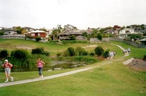
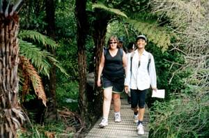
The track continued down the Unsworth valley through bush, following a stream, to come out on Barbados
Drive.
|
|
 |
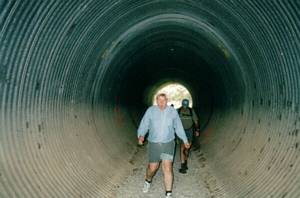
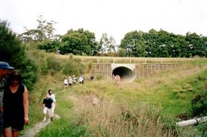
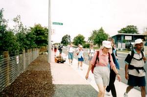
We crossed Barbados Drive, and the walkway followed the stream through to, and underneath, Constellation
Drive to come out on Paul Matthews Rd.
|
|
|
|
|
 |
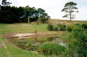
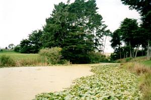
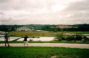
From there we went into Rosedale Park, cutting across an area of lawn and a few pine trees, to come
to St Patrick’s Lake, a pond covered completely by algae giving the appearance of smooth green grass
as found on a bowling green. The entire edge of the lake was a solid belt of green water-lily leaves.
It was unfortunate the lake was slightly spoiled by a few people who had thrown bottles and other floating
debris in.
|
|
 |
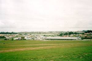
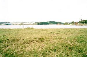
We went on past some sports fields and went up to the edge of the North Shore oxidation ponds. They
may have looked pretty through the high fence surrounding them, but the aroma caused us not to linger
there!
|
|
 |
The fresh air of the other side of Rosedale Park was more inviting as we carried on to a collection
of cul-de-sacs and out to Rosedale Rd.
|
|
 |
A 20-minute roadbash along Rosedale Rd and Bush Rd, climbing through the bush that gave the name
to Bushlands - unfortunately there were no tracks we could follow as this bush, on the right-hand side
of Bush Rd, was private land - brought us to a large area of grass land above the Albany Mega Centre.
On the way we passed someone who was passing the time waiting for a bus by playing his guitar.
|
|
 |
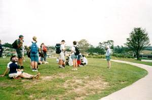
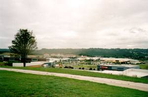
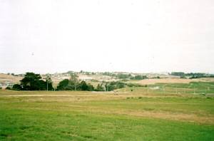
A wide concrete path brought us to our afternoon tea stop at a summit where we had panoramic view
all around - Albany and the North Harbour Stadium to the northwest, the Rosedale eau-de-cologne oxidation
ponds to the south, and central Auckland with the Sky tower in the distance. All around there were scars
of land that had freshly been bulldozed ready for commercial buildings to spring up. Even the large area
of grass around us would be doomed to the same fate within a year or two - come back and find the view
obliterated by chain-stores, high-rises, drinking clinics, townhouses and all sorts of other hideous
edifices!
|
|
|
|
|
|
|
|
 |
We stopped at a foodcourt in some nearby shops for our compulsory icecreamerology before returning
to our cars along Bush Rd all the way, finishing soon after 5pm, having enjoyed an interesting walk in
a new area.
COST: $2
|
|
|