|
Base map: NZTopoOnline, extracted July 2005, Crown Copyright Reserved
|
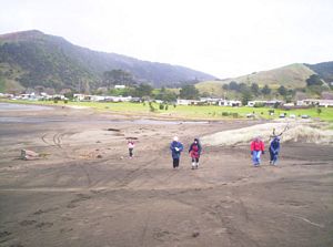
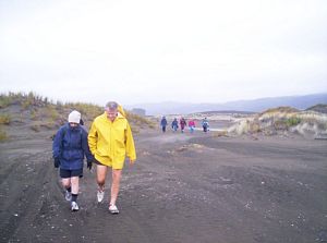
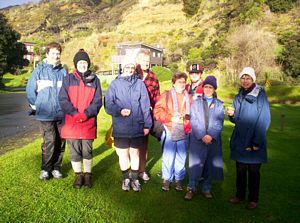
Despite the distance from Auckland and early sunset, a good group of nine people explored the expansive
sand dune peninsula forming the south head of the Waikato River at Port Waikato.
The journey
from The Bracken took one-and-a-half hours, which meant we did not get on our feet till 3:15pm. As we
travelled rain came on, and we had visions of having to battle the elements as we walked, but once at
the start the rain held off and did not come back till we were back in Auckland. We set out from the
beach carpark off Maunsell Rd and soon climbed up into the broad belt of bare sand forming the inland
side of the peninsula. We could look across the river to the Waiuku Forest opposite.
|
|
|
|
|
|
|
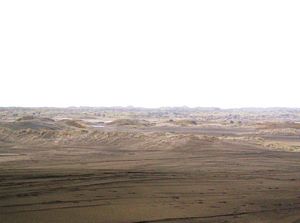
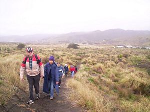
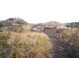
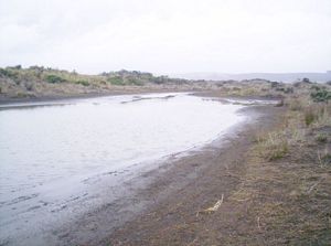
Soon we turned inland crossing a broad area of low dunes with patches of flat sand, vegetation and
one or two ponds.
|
|
|
|
|
 |
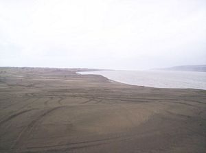
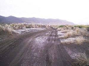
We followed a vehicle track heading southwards; we could see the hills above Port Waikato in the
distance ahead. White shells scattered on the iron sand gave the appearance of snow.
|
|
|
|
|
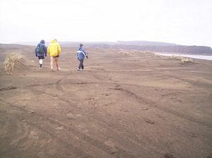
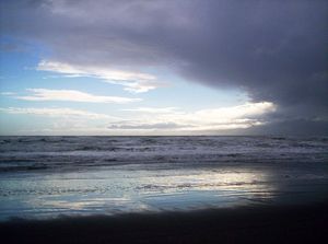
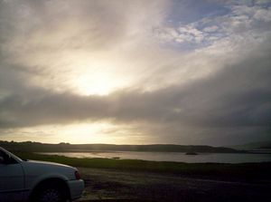
A side track off the vehicle track brought us across hilly lupin-covered dunes to the Tasman Sea
coastline.
|
|
|
|
|
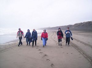
We walked down the beach for ten minutes to the Sunset Beach carpark near the surf club. A group
of drinking youths asked us if we were doing the Duke of Edinburgh award! The grassy area beside the
end of the Sunset Beach road made a good rest stop out of the wind, it was now 4:15pm.
|
|
|
|
|
 |
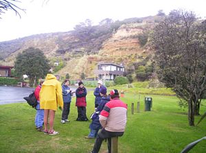
A roadbash brought us back to the car park and tramp’s end about 4:45pm.
|
|
 |
Everyone had a wonderful time, and on the way home we stopped in Tuakau for munchies. We were back
at The Bracken about 6:30pm.
Cost: $12.
|
|
|