|
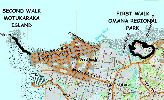
Base map: NZTopoOnline, extracted March 2005, Crown Copyright Reserved
|
The Club had never in its 25 years been to Omana Regional Park at Maraetai, even though the park has
been around that long, probably because it is such a small park that one could walk its perimeter track
within one hour. But when that short walk was combined with a drive to Beachlands to visit Motukaraka
Island, a total of 21 people came along.
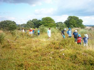
One car load left The Bracken at 1:30pm to meet up with
the rest of the group at Omana Regional Park at 2:15pm. We walked the Perimeter Track anticlockwise,
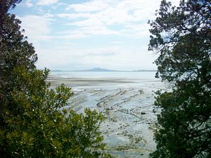
pausing at the Lookout Point on the headland west of Omana Beach, a former Maori pa site. A pleasant
calm day enabled us to enjoy views out to Waiheke and Ponui Islands.
|
|
|
|
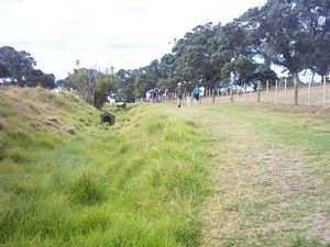
The track continued around the coastal edge of the farm park turning southwards.
|
|
|
|
|
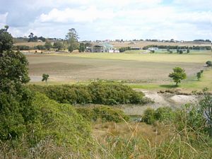
We could look down onto the Manukau City Council park with its sports fields, fronting Kellys Beach.
|
|
|
|
|
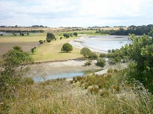
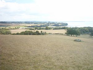
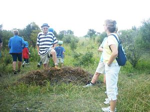
Later the track entered bush as it followed the southeastern boundary of the park. Further on we
took a side track leading to a paddock with a lookout on the top. The summit of the regional park offered
a panorama from Auckland with its Sky Tower and Rangitoto in the west, through the Hauraki Gulf and its
islands to Maraetai township and Ponui Island in the east.
|
|
|
|
|
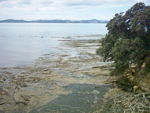
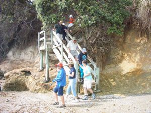
We returned to the bush track to complete the Perimeter Walk before getting into the cars for the
short drive to Beachlands, and the end of Hawke Cres at the far end of the settlement. A wooden staircase
brought us to the foreshore; the tide was right out for the 5-minute walk across the sand and mud flats
to Motukaraka Island.
|
|
|
|
|
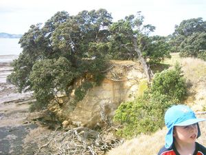
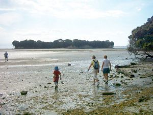
Motukaraka Island, like many other islands and mainland sites in the Auckland area, is being restored
to its original native forest cover with the help of volunteer working bees.A stepped track led to the
top of the broad flat island, covered with weeds and trees obviously planted by these bees.
|
|
|
|
|
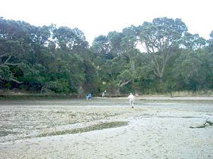
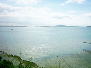
We walked across to the far end of the island to look out to the Hauraki Gulf and its islands, before
returning to our cars to conclude an interesting and pleasant afternoon.
|
|
|
|
|
|
|
|