|
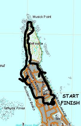
Base map: NZTopoOnline, extracted September 2005, Crown Copyright Reserved
|
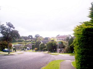
A group of eleven people showed up for a walk around Musick Point, the peninsula north of Howick that
for many years was the base for marine radio communications in the Hauraki Gulf and beyond.
Two
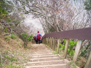
carloads of three people left The Bracken about 1:45pm and met up with five others, including three children,
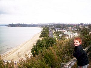
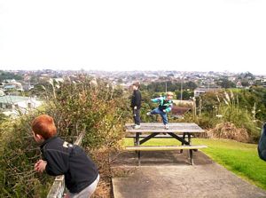
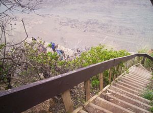
at Rogers Park in Eastern Beach. From the park we walked out to the beach, then climbed up through a
reserve to a lookout with views over the beach and the gulf beyond.
|
|
|
|
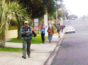
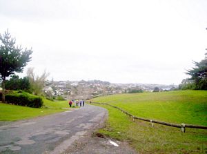
We carried on along Clovelly Rd to arrive at the start of the Howick Golf Course and the access road
to Musick Point.
|
|
|
|
|
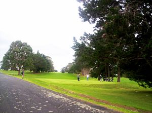
Signs warned us to watch out for flying golf balls, and to keep off the golf course proper which
is off-limits to public access anyway, as we followed the driveway across the course.
|
|
|
|
|
Near the end of the road there were views out to Rangitoto and Browns Islands. A ferry with its load
of cars was passing on its way from Waiheke Island to Half Moon Bay.
|
|
 |
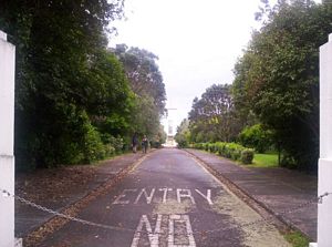
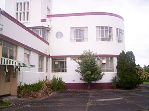
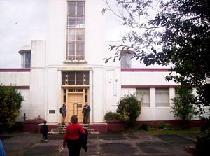
The old radio station at Musick Point, now occupied by communications giant Telecom, was an impressive
sight as we approached it along a tree-lined driveway.
|
|
|
|
|
|
|
|
We dropped down to the foreshore through the reserve behind the radio station.
|
|
|
|
|
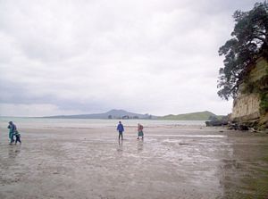
The tide was on its way out as we walked along the straightforward rocky foreshore to Bucklands Beach.
|
|
|
|
|
 |
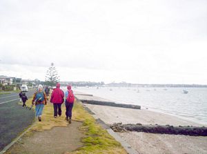
After a stop for icecreams we cut across to come out at Rogers Park about 5pm, finishing a lovely
afternoon walk.
COST: $4
|
|
|