|
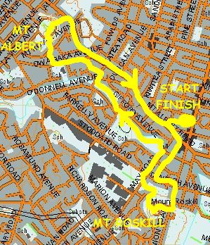
Base map: NZTopoOnline, extracted October 2005, Crown Copyright Reserved
|
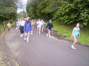
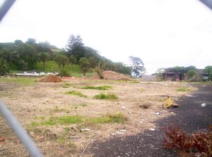
We left Joy’s home in Cambrai Ave, Mt Roskill at 1:45pm and walked to the Mt Roskill hill, crossing a
strip of land where hice had been pulled down and earthworks begun for a new through road that would
eventually connect Onehunga with the Northwestern Motorway.
|
|
 |
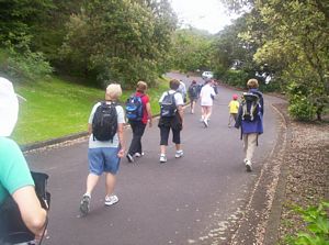
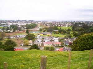
We climbed Mt Roskill, known in the CB world at the height of the CB radio craze in the late 1970s
as The Slab, up the access road.
|
|
|
|
|
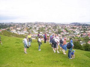
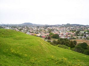
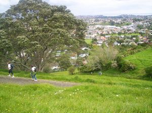
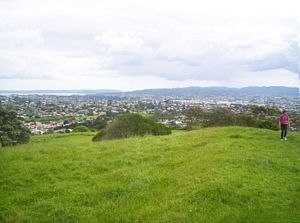
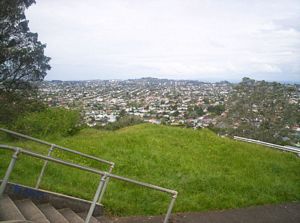
From the summit of The Slab we could see all over Auckland, including The Candle (One Tree Hill)
and the Gravel Pit, also known as the GP (Mt Eden). The Coathanger (Auckland Harbour Bridge) could
be seen through binoculars.
|
|
|
|
|
|
|
|
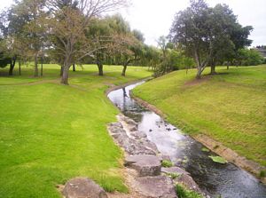
We took a more direct route down to May Rd and walked along it to come to the Oakley Creek in the
Mt Roskill War Memorial Park. Music from a church service taking place inside the War Memorial Hall was
wafting out as we approached the park. Across the stream from the hall was the old Red Cross Hall, home
to the Western Districts CB Radio Club in the 1970s and 1980s, and especially known for the club’s monthly
meetings where the coveted Stirrer’s Paddle award was given out each time.
|
|
|
|
|
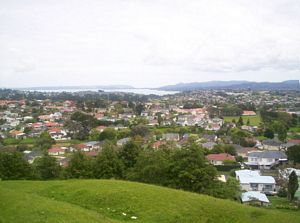
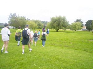
Our walk across to Mt Albert (which may not have had a CB nickname) followed the Oakley
Creek through the park before a roadbash to the eastern foot access to the mountain.
|
|
|
|
|
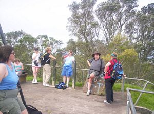
We had another break admiring the view from the summit.
|
|
|
|
|
 |
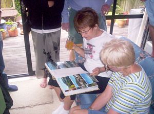
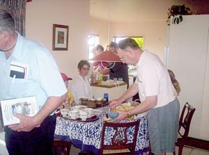
The walk back to Joy’s home was down onto and along Mt Albert Rd. Joy strode on ahead to open
up the house for afternoon tea, and we were tramping once more - this time in the armchairs following
in the footsteps of Joy and Barbara as they tramped the mountains of Spain in real life a few weeks ago.
Their photograph albums were splendid, and we were also able to view some of the photos on Joy’s DVD
player.
|
|
|
|
|
|