|
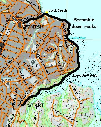
Base map: NZTopoOnline, extracted March 2004, Crown Copyright Reserved
|
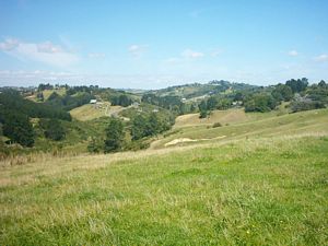
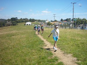
Sixteen people spent a sunny late summer afternoon exploring a new reserve at Howick, Mangemangeroa,
containing pasture and bush and tracks that had only been made in the past year.
One car load
of four people left The Bracken at 1:30pm and met up with the twelve others at the start of the track
near a large white shed on Somerville Rd. We set out, and within two minutes we were at the trig station
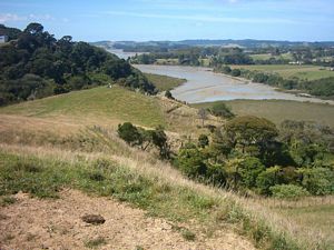
where we had a panoramic view from Whitford valley down the Mangemangeroa Creek to the Hauraki Gulf and
its islands.
|
|
 |
|
|
|
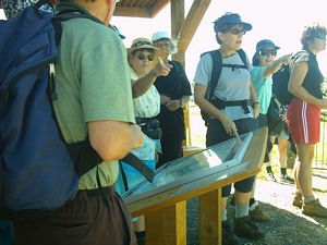
We had a stop at a lookout just beyond the trig, where a large sign displayed information on the
history and ecology of the area.
|
|
 |
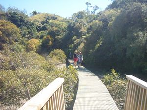
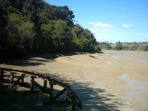
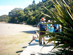
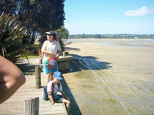
From there we dropped down into bush to come to the edge of the Mangemangeroa Creek, which we followed
around to Shelly Park.
|
|
|
|
|
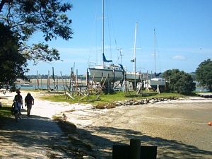
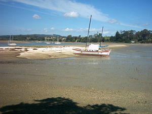
We had a quick break at Shelly Park, a home for many large boats.
|
|
|
|
|
|
|
|
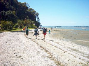
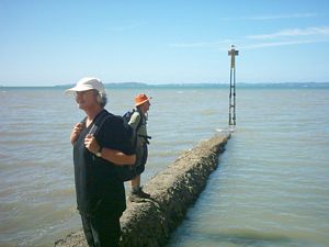
The walk from Shelly Park to Cockle Bay was straightforward.
|
|
|
|
|
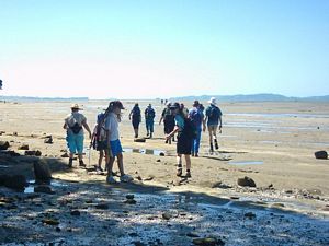
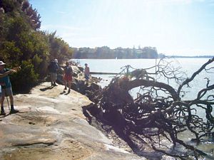
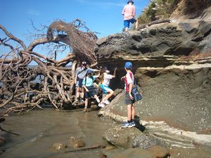
As the tide was beginning to come in, we had to walk along a high rocky platform beyond Cockle Bay.
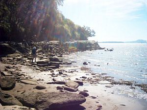
Shortly before Howick Beach we had to scramble down to the water’s edge beside a large fallen tree.
|
|
|
|
|
|
|
|
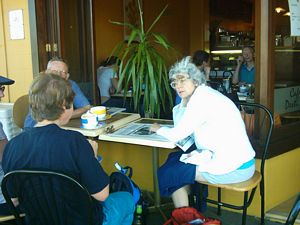
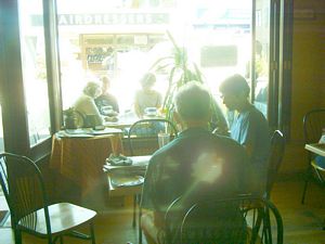
From Howick Beach we roadbashed to Howick Village and one of its cafes while the drivers were taken
back to pick up their cars.
|
|
|
|
|
|
|
|