Twelve people braved a blustery afternoon to come out and explore Duder Regional Park on the peninsula
between Maraetai and Clevedon, and get an introduction to map reading on a permanent orienteering course
recently set up in the park.
Seven left The Bracken soon after 1:30pm and met up with the other
five at the carpark at Duder Regional Park. After the customary introductions and prayer at the carpark
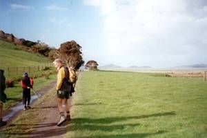
we walked a short distance to an information board about the orienteering course that was set up with
the assistance of the Counties Manukau Orienteering Club. Peter told us about setting a map - this is
done by placing a compass on the map and turning everything around until the north direction marked on
the map coincides with the needle on the compass, allowing for magnetic deviation if necessary. This
places the map into a true position where directions of the route of travel and other features can easily
be obtained. A map can also be set without a compass using the directions of known landmarks that are
visible.
There were coloured orienteering maps of Duder Regional Park showing the checkpoints
on the course, wrapped in resealable plastic bags, available to borrow on a self-serve basis and return
to the board afterwards; as a precaution against insufficient supply of the maps Peter had made a number
of photocopies of the map to hand out for us to keep. However, many of us helped ourselves to the coloured
maps for the exercise.
|
|
|
|
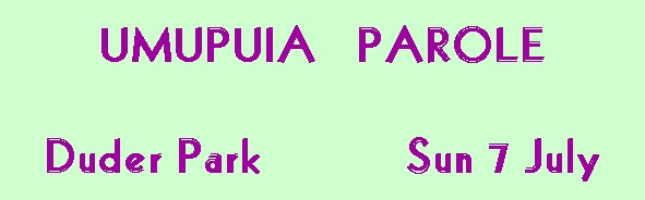
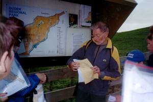
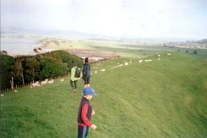
We climbed around the side of the hill looking for the first checkpoints, using the maps as a guide.
Eventually we came on to the main ridge where we could look out to the Clevedon area.
|
|
|
|
|
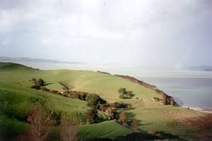
Looking the other way we could see Ponui and McCallums Islands through the showers.
|
|
 |
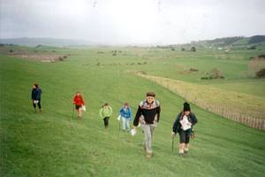
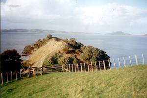
We followed the main farm track along the ridge to eventually come to the end of the peninsula. It
was after 4pm by the time we reached the final fence-line - because we had to be back at the car park
before the gate was locked at 5pm, we had no time to walk right out to the end of the headland as we
had done on previous trips.
|
|
 |
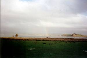
On the way back we dropped down a valley to come out to the southern coastline of the peninsula,
and from there it was a short walk back to the orienteering information board to return the coloured
maps.
|
|
 |
We were out by 4:45pm, with the last car leaving just as the ranger was about to lock the gate. Maraetai
made a welcome mandatory ice-cream stop on the way back to Auckland.
COST: $5
|
|